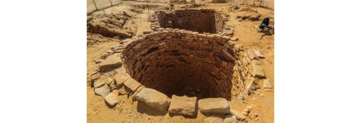
Madain Saleh Wells
Numerous wells to support the pilgrims and ancient trading city of Nabataea. Al Hijr or Madain Saleh is located 22 kilometers to the north-east of Al Ula municipality of Al Madina Al Munawarrah province in the Kingdom of Saudi Arabia at latitude 4726 north and longitude 5337 east, and it was called Al Hijr since the ancient times.It occupies a strategic position on the ancient trade route that links the southern Arabia, Mesopotamia, Levant, and Egypt.
The ancient trade rout in Al Hijr that emanates in the south of Arabian Peninsula divides into two branches, one heading to the north passing through Tabuk ends in Petra in Jordan, which was the political capital of Nabataea, while the second branch heads towards Mesopotamia through Tayma in the north of Arabia. This important strategic location has made Madain Saleh an important trading city of Nabataea and a significant economic destination for the trade caravans.
Madain Saleh is the most iconic historical site of the Kingdom of Saudi Arabia and the first to be listed as a UNESCO Word Heritage, back in 2008. It is located in the north of Madinah Province, in the area of Al-Ula, where many other fascinating archeological sites attest to the thousands of years of human occupation of the area thanks to the underground water available for millennia.
Madain Saleh means the “cities of Saleh” after the name of the Prophet Saleh who tried to convert the ancient people of Thamud to Islam. But this name started to be used only during the Ottoman occupation of the Hejaz, whereas the people who built this city, the Nabateans, called it Hijra (as it appears in some ancient inscriptions at the site), and the Romans used to call it Hegra. The historical site is still known today in Arabic as Al-Hijr, after which a Surat of the Holy Quran is named.


