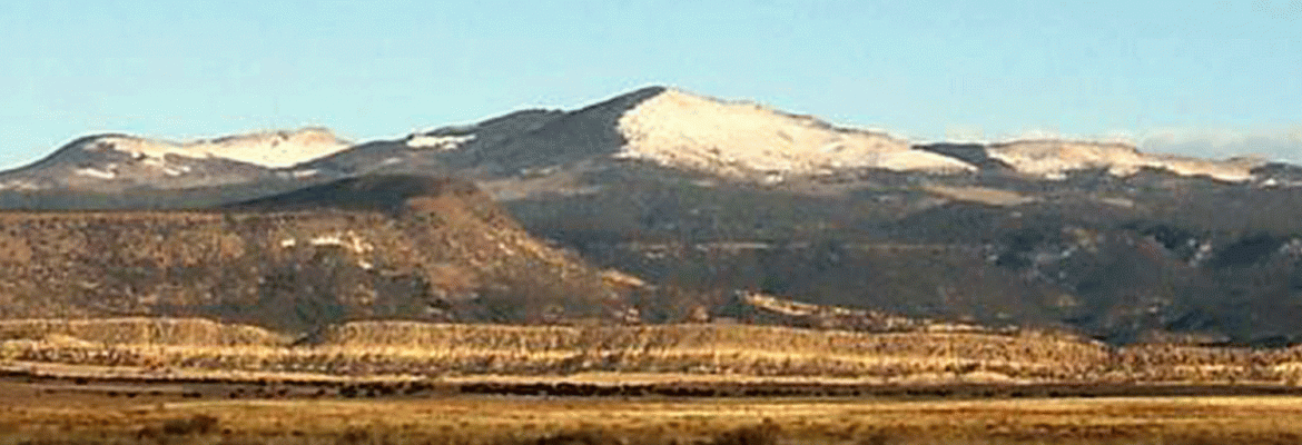
Hike Bike, Mount Taylor, New Mexico, USA
The Gooseberry Springs Trail takes hikers from the slopes of Horace Mesa up to the peak of Mount Taylor – the highest peak in northwestern New Mexico and a sacred mountain to many of the regional Native cultures. It is one of the four sacred peaks that define the Navajo ancestral lands. Views from the summit of this ancient stratovolcano are spectacular; the peak is wide open in three directions, with dense forest on the northwestern slope.
The peak is also the high point, literally, of the annual Mount Taylor Winter Quadrathlon (separate entry), a 43-mile endurance challenge by bike, foot, ski and snowshoe.
The Gooseberry Springs Trail is a steady, moderately steep hike that climbs 2000 feet in 3.1 miles to the summit at 11,301-foot elevation. The trailhead, at the 9300-foot level, is reached by driving 13 miles northeast from Grants on Lobo Canyon Road ( NM 547) then at pavement’s end, go 5 miles southeast on Forest Road 193. The trailhead marker (Trail 77) is on the left while parking is on the right (If you come to a right-hand road fork, you’ve gone a bit too far).
This hike is on Cibola National Forest lands. It begins in mixed pine and aspen forest and climbs steadily up-canyon for a half-mile or so, passing Gooseberry Spring below the trail on the left. It soon breaks out of the forest and crosses areas of broad meadow with sweeping views to the west and south. Crossing a saddle, the trail sidehills in the open above deep Rinconada Canyon, then beyond another saddle it switchbacks northward and upward across a steep grassy slope. A final short rocky stretch leads to the summit.
At the peak is a metal elevation sign and hikers’ log; it’s a great lunch spot with endless views. The summit winds can be a bit “intrusive,” but thick trees on the north side offer good shelter for that lunch break. The La Mosca Fire Lookout and antenna farm are visible a mile to the northeast; a faint trail off the summit leads east, down to FR 453, the lookout access road. Return west again from the summit to the trailhead parking area.
Visit USA. Epic USA Adventure Route © All Rights Reserved | Monika & Simon Newbound 2017


