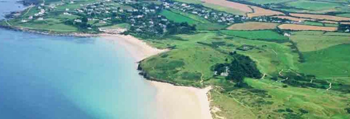
At low tide mud and sandbanks are exposed and the reed-beds and salt-marsh flats teem with wading birds. Small creeks and tributary rivers link with the hinterland which takes in secluded farms, quiet combes and windswept hilltops, with long distance views down the estuary to the sea. One of the best ways to explore this part of the Cornwall Area of Outstanding Natural Beauty is by bike along the Camel Trail which follows the estuary all the way and is hugely popular.
The Tregunna bird hide opposite the Amble marshes lies about a mile along the Camel Trail from Wadebridge. These upper reaches of the Estuary are designated a County Nature Site.
One of the UK’s rarest and most protected mammals, the otter, frequents the Camel. The estuary is also a sea bass conservation area providing protection for the breeding of this most sought-after fish. On the banks and inland there are rare plants to be found amongst the more common blackthorn, gorse, thrift and campion. At the mouth of the estuary, inter-tidal reefs provide protection for seaweeds and a myriad of fish and other sea creatures.
The AONB ends at the Town Bar where the fishing port of Padstow is the gateway to the next section.


