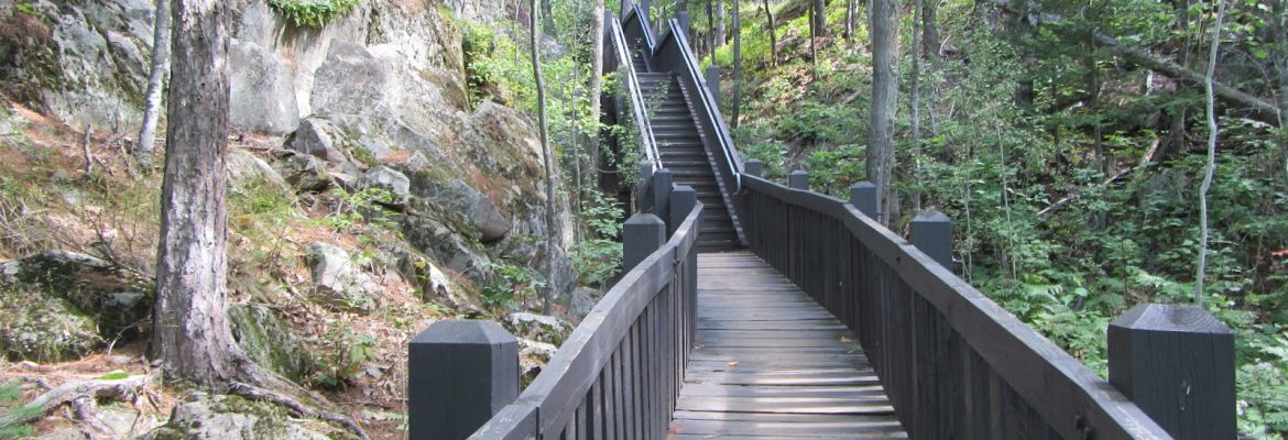
Sugarloaf Mountain, Marquette, Michigan, USA
Sugarloaf Mountain is 6-7 miles north of downtown Marquette on CR 550. Get there by taking Front to Washington, turn west and go to Fourth Ave. Turn north onto Fourth, which becomes Presque Isle Ave. At Hawley turn west. It turns into CR 550. Look for sign by parking lot. Free. Handicap accessible: no.
The summit of this cherished local landmark offers grand views looking north and east to Lake Superior, and south to the city of Marquette with its steeples and the green forests beyond. It’s a 15- to 20-minute walk to the peak – a view best enjoyed when the morning sky is still dawn-rosy. The trail is well marked. This half-mile climb is mostly stairway. Rated “moderate” in difficulty, it is less strenuous than it might otherwise be, thanks to the steps built by the county, plus benches along the way and a deck at the peak.
The name Sugarloaf or Sugar Loaf applies to numerous spectacular raised topographic landforms; mountains, hills, peaks, summits, buttes, ridges, rock formations, bornhardt, inselberg, etc.
Landforms resembling the characteristic conical shape of a sugarloaf were often so named.
Visit USA. Epic USA Adventure route © Monika & Simon Newbound. All rights reserved 2017


