
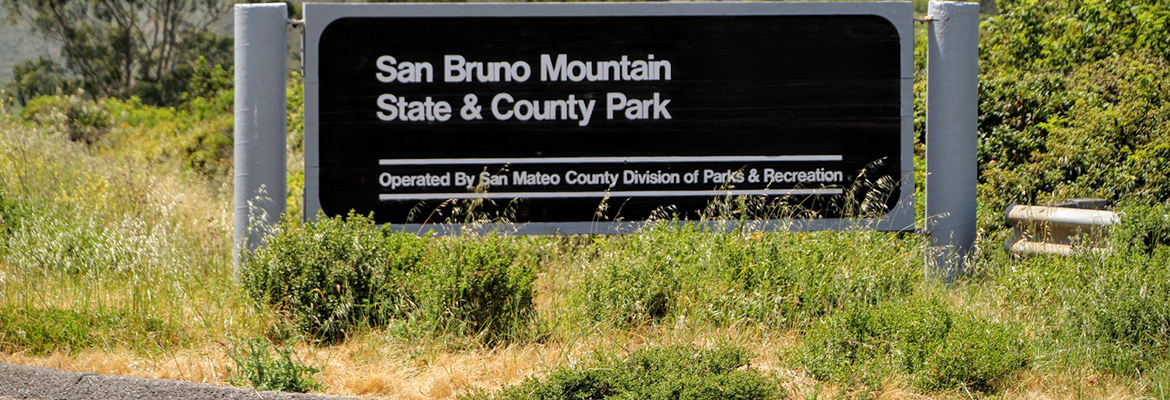
San Bruno Mountain Park is a landmark of local and regional significance, standing as a unique open-space island in the midst of the peninsula’s urbanization at the northern end of the Santa Cruz Mountain Range. The Mountain’s ridge line runs in an east-west configuration, with considerable slopes and elevations ranging from 250 feet to 1,314 feet at the summit. The 2,416 acres of rugged landscape offer excellent hiking opportunities and outstanding views of San Francisco and Central Bay Area. Hiking is the most popular activity in the park. The main starting points are from the park’s entrance, trailhead parking area and from the mountain’s summit.
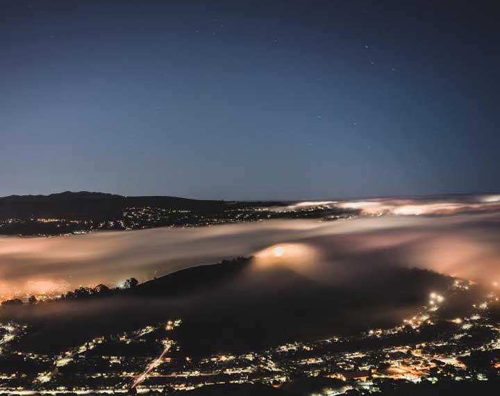
Various neighborhood access points including Crocker Road and Carter Street also provide good starting points. Views afforded from many spots on the trails are unparalleled in the bay area. Sightseeing is also popular. Radio Road, leading up from the main entrance, offers visitors the opportunity to drive to the summit of the Mountain and enjoy breathtaking views north to Mt. Tamalpais, east of Mt. Diablo and west to the Farallon Islands. The park offers family picnic sites situated near the park entrance. Tables, barbecue pits, drinking water and a restroom compliment this area. The nearby grass area is a popular spot for recreational activities such as volleyball, frisbees and kite-flying.


 Own or work here?