
Tropical mountain forest Parque Nacional El Imposible was named for the perilous gorge which used to claimed the lives of farmers and pack mules transporting coffee to the Pacific port. Decreed a national park in 1989, it sits in the Apaneca Ilamatepec mountain range between 300m and 1450m above sea level, and includes eight rivers which feed the watershed for Barra de Santiago and the mangrove forests along the coast.
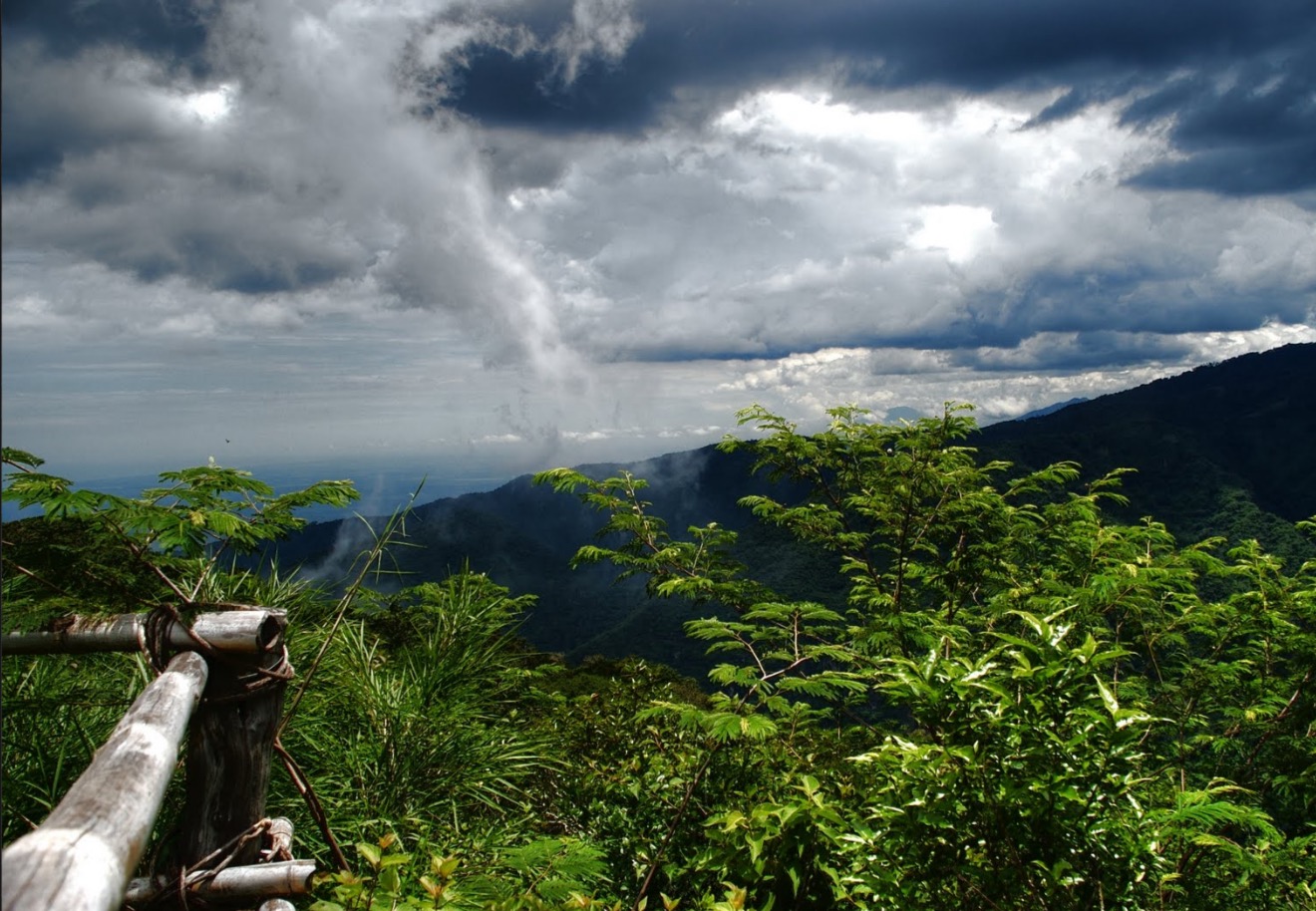
This original forest – the remains of a threatened ecosystem – is still home to an extraordinary variety of plant and animal life, including pumas, tigrillos, wild boars, king hawks and black-crested eagles. Hiking can get muddy and steep but offers grand vistas of misty peaks and the gleaming Pacific Ocean.
The main San Benito entrance is on the southeast side, beyond the hamlet of San Miguelito. The park is run by Salvanatura (tel: 2279 1515; www.salvanatura.org in Spanish; entry US$6); in theory you need to visit the San Salvador office to pay the entry fee and arrange for guide service (there is no guide fee but a US$5 tip is customary). If instead you call the park, they can radio a guide to collect your fee. If you are just showing up you’ll have better luck on weekends when there is more activity. The best time to visit is October to February, as the rainy season hinders travel. The solar-powered visitors center has a modest museum and lookout tower with ocean views.
Major hikes:
Los Enganches – An ideal picnic spot, this big swimming hole is reached by a trail (3.5km one way), which passes Mirador El Mulo and descends steeply. Along the way you’ll pass Mirador Madre Cacao, with views of the southeastern part of the park. Look for agoutis and coatis.
Piedra Sellada – A 4km trail to a swimming spot and a stone etched with Maya writings. Experts believe it dates to the Post Classic period, around AD 1500. To get here you’ll take the Los Enganches trail; just before the end another trail cuts upriver 1km to Piedra Sellada.
Cerro El Leon – A tough 8km circuit topping out on one of the park’s highest peaks (1113m), starting in a lush, humid gorge and climbing through dense forest. This trail offers terrific panoramic views. From the visitors center the trail descends steeply 1km to the Río Ixcanal. Crossing the river you climb the other side, known as Montaña de los Águilares, to the summit. Return by a different route, along the narrow ridge between the Ixcanal and Guyapa river valleys. Allow several hours and bring plenty of water.


 Own or work here?