
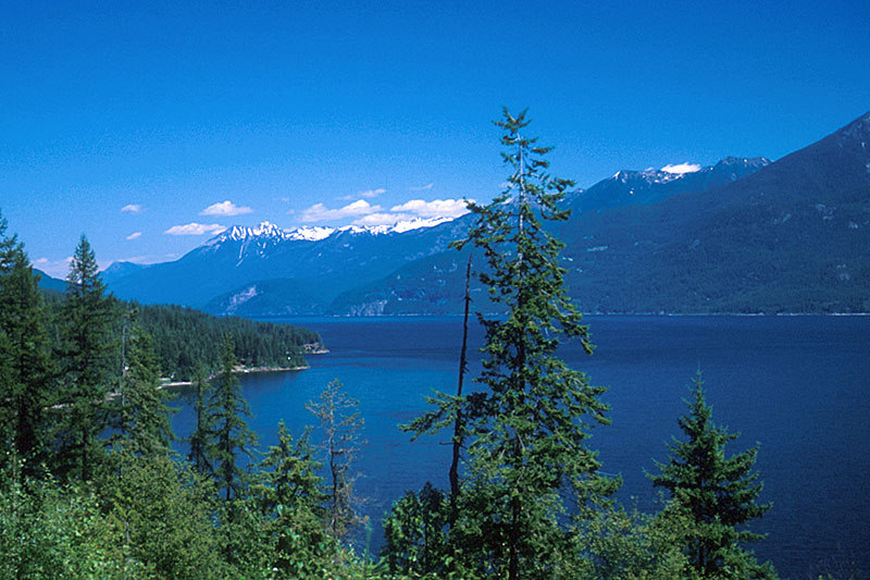
Kootenay Lake, British Columbia, Canada
Kootenay Lake is 530 m (1,736 ft) above sea level and bounded by the Selkirk Mountain range to the west and the Purcell range to the east. View Map of RegionThe lake is about 144 km (90 mi) long, and up to 152 m (500 ft) deep. The average width is 4 km (2.5 mi) and is 8 km (5 miles) across at its widest. It was formed during the Ice Age, when glacial advances deposited glacial till to the south, creating the rich farmlands around Creston and a large basin to the north.
Golfing_CrestonCreston is situated in a valley at the south end of Kootenay Lake at the junction of Highways 3, 3A and 21, which runs 11 km (7 mi) south to the Canada/USA border. Creston is an important business centre with a thriving diverse economy. Creston Valley is a broad, fertile, agricultural region and home to many dairy farms and orchards. Warm weather arrives early and stays later, blessing Creston with one of the mildest climates in British Columbia. Visit Canada. Epic Canada Route © Monika Newbound


 Own or work here?