
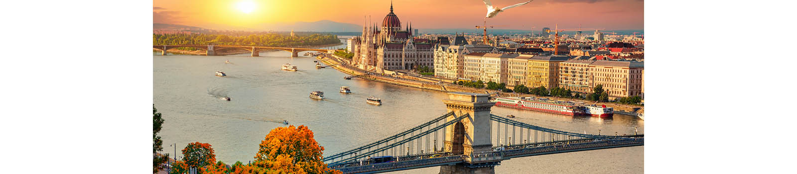
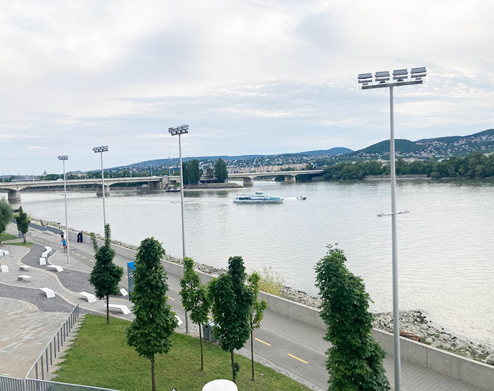
The Rákos-patak torkolat, or the mouth of the Rákos Stream, represents a vital geographical and ecological junction where one of Budapest’s longest streams finally meets the expansive waters of the Danube. Located in the 13th district, near the northern end of the city, this site serves as a symbolic endpoint for a waterway that travels across several districts and suburban areas. In recent years, the area has undergone significant revitalization to transform it from a neglected industrial edge into a modern, accessible waterfront that emphasizes the natural beauty of the river’s confluence.
The architectural and landscape design around the estuary focuses on blending urban functionality with environmental preservation. A standout feature is the sleek, modern pedestrian and cyclist bridge that spans the stream, allowing for seamless travel along the popular Danube embankment path. The surrounding banks have been reinforced and landscaped with stone tiers and greenery, creating a series of natural “stairs” where locals can sit and watch the river flow. This design encourages a slower pace of life, inviting passersby to pause and appreciate the unique perspective of the water merging under the shadow of the nearby Árpád Bridge.
Ecologically, the Rákos-patak torkolat acts as a small but important green lung for the Angyalföld neighborhood. The shallow waters and reed beds near the mouth provide a habitat for local bird species and aquatic life, offering a glimpse of biodiversity amidst the city’s concrete infrastructure. As the sun sets, the area becomes a favorite spot for photography and quiet reflection, as the open horizon provides unobstructed views of the Buda Hills and the shimmering lights of the capital. It stands as a testament to Budapest’s ongoing efforts to reconnect its citizens with the river through thoughtful, sustainable urban planning.


 Own or work here?