
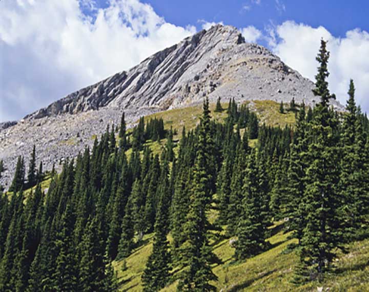
Belmore Browne Peak is a rugged and rewarding summit located in the Fisher Range of Kananaskis Country, Alberta. Standing at 2,332 meters (7,649 feet), it offers a challenging ascent for experienced hikers and scramblers. The hike begins from Powderface Trail Road, located about 14 kilometers from Highway 68. The route leads through forested areas, creek beds, and open terrain, requiring careful navigation through rocky sections and steep inclines as hikers make their way to the summit. The peak is not heavily trafficked, making it a quieter alternative to more popular destinations in the area.
The summit of Belmore Browne Peak rewards adventurers with breathtaking panoramic views of surrounding mountains, including Boundary Peak and Tiara Peak. The final stretch to the top is a steep, rocky scramble, requiring good route-finding skills and steady footing. The hike is about 8.4 kilometers round trip, with an elevation gain of around 643 meters, offering a strenuous yet achievable challenge for those with the right experience and fitness level.
For those looking for a more extended adventure, it’s possible to continue from Belmore Browne Peak onto Boundary Peak and Tiara Peak, adding more scrambling and technical terrain to the journey. The traverse offers even more stunning views and a deeper exploration of the area’s rugged landscape, though it requires careful planning and suitable gear. Hikers should be prepared for changing weather conditions and bring enough supplies for a full-day mountain adventure.


 Own or work here?