
Hiking, Uinta Mountains, Utah, USA
The mountains pick up heavy snowfall and include several areas designated for snowmobile recreation. In addition, a few trails are open to ATVs.
Most of the Uinta Mountain Range is contained within the Ashley National Forest, which was established in 1908 by President Theodore Roosevelt. The western portion lies within the Wasatch-Cache National Forest, which was created by presidential proclamation in 1906, and the Cache National Forest, which was designated in 1907. The High Uintas Wilderness was established by Congress in 1984. It includes 460,000 acres and is the largest wilderness area in Utah.
There are well over 1,000 natural lakes in the Uintas and more than 500 of them support populations of game fish. There are also over 400 miles of streams. Over 2.5 million visitors come to the Ashley National Forest each year for outdoor recreation.
The Uinta Range is the highest in Utah, and is the only major range in the contiguous United States with an east-west orientation. Elevations range from 8,000 feet in the lower canyons to 13,528 feet atop Kings Peak – the highest point in Utah. Ridges divide the area into large, scenic basins; many ridges rise abruptly several thousand feet above the basins.
The mountains’ skeleton is pre-Cambrian rock over 600 million years old. These ancient rocks were elevated under tremendous pressure to form nearly vertical faults. Parent rocks are primarily quartzite with sandstones and shale beds.
In contrast to the surrounding desert, the Uintas receive about 40 inches of precipitation annually, mostly as snow. The growing season is short. Temperatures in areas above 10,000 feet are seldom above 80 degrees during summer days. Night temperatures during summer are 30-40 degrees, with freezing possible at any time. Summer afternoon thunderstorms may occur with little warning.
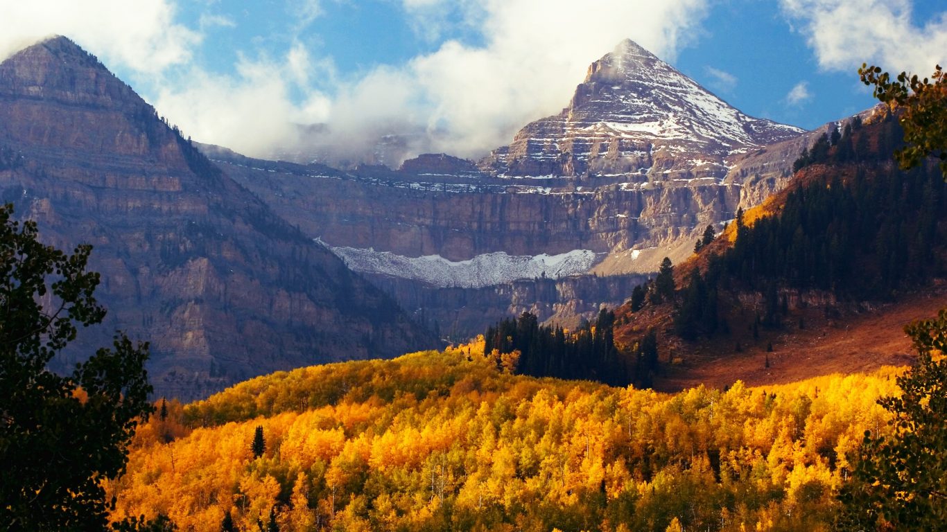
Most of the mountain slopes are forested. Coniferous trees (lodgepole pine, Engelmann spruce, Douglas fir, subalpine fir) grow in large continuous stands. Quaking aspen occur in scattered patches throughout most of the lower elevations. Isolated meadows – resembling large parks – and willow fields add variety to the timbered areas. Many peaks extend above tree line.
Camping
Developed campgrounds are located wherever roads extend into the forest. Camping is also allowed in undeveloped areas. Most developed campsites can be reserved prior to arrival, and reservations are strongly encouraged for summer weekends. Advance reservations are definitely needed for campgrounds along the Mirror Lake Highway, and for sites anywhere over major holiday weekends. In other areas, most campgrounds have sites available most summer weekends.
The peak season for most campgrounds is Memorial Day through Labor Day. Most Ranger Districts keep some sites open after Labor Day, weather permitting.
The best maps and guides
The High Uintas Wilderness Map, published by the Forest Service, is a great resource. It shows the entire area in detail. It’s essential if you are backpacking.
The Lakes of the High Uintas booklets published by the Utah DWR are also extremely valuable. This is a 10-booklet set that describes all waters managed as fisheries. The booklets provide hiking directions and describe fishing opportunities, along with details about camping, spring water and horse feed. They also include maps of specific drainages.
7.5 Minute topographical maps for your specific destination are also important. Uinta adventures for everyone Mention the Uintas and most people think about backpacking: forty pounds of weight on your back, four gallons of mosquito repellent in your pack, and 10 miles of steep trail between you and your destination, which is located above tree line, next to a snowfield that never completely melts.
These rugged mountains are ideal for backpacking, and provide opportunities for long trips and solitude. But backpacking is only one great way to enjoy the area. Several options are discussed below:
Visit USA. Epic USA Adventure Route © All Rights Reserved | Monika & Simon Newbound 2017


 Own or work here?